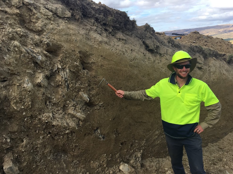
Jono Griffin pointing to the interface of the Hyde Fault, represented by the juxtaposition of basement schist thrust over fine-grained silts and sands. Photo credit: Erin Todd, 2019.
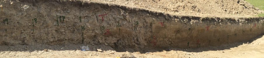
Hyde Fault trench at the foot of the Rock and Pillar Range, looking southeast towards Taieri Ridge in the distance. Photo credit: Erin Todd, 2019.
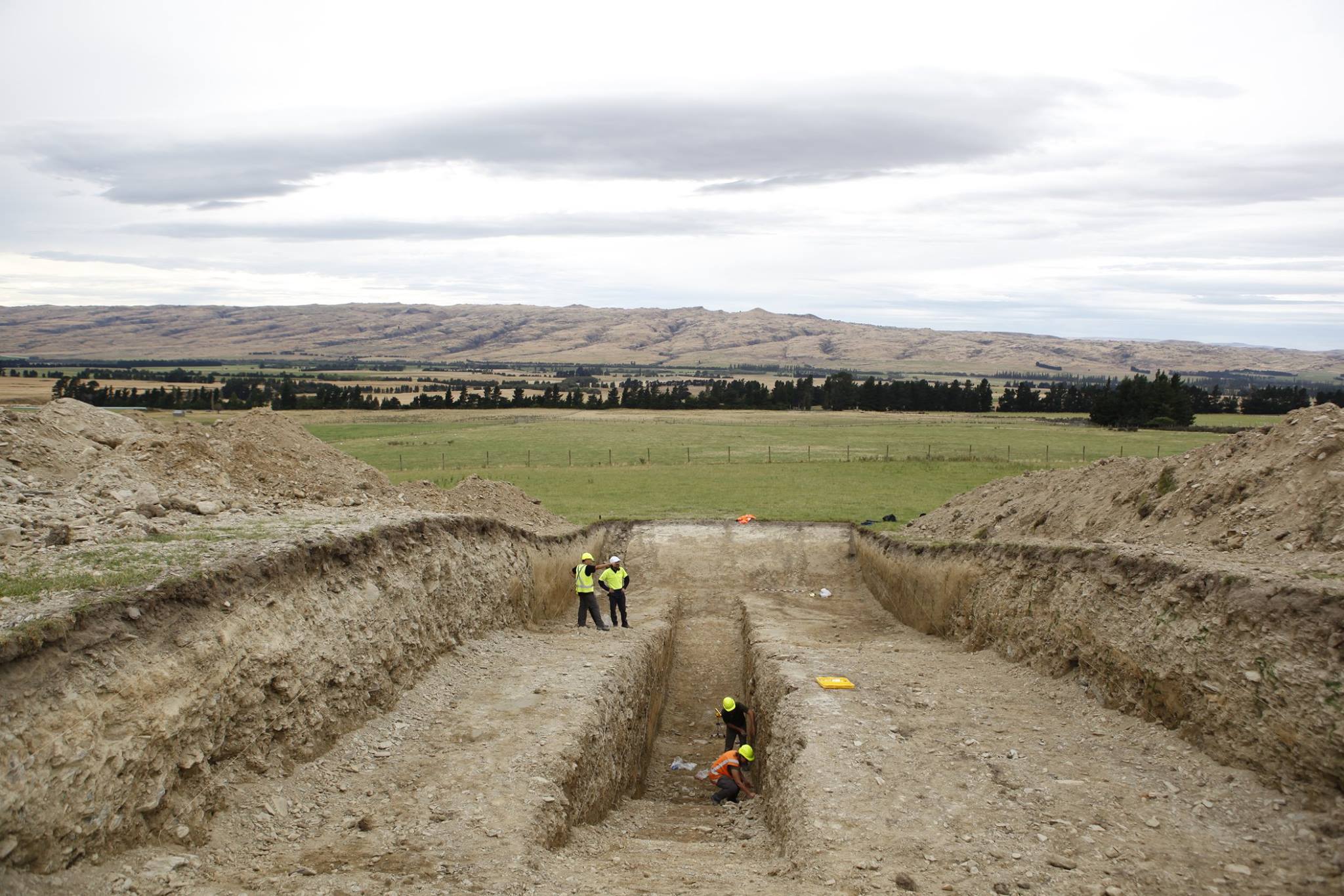
Jono Griffin, Mark Stirling and the excavator operator overseeing an excavation across a fault trace associated with the NW Cardrona Fault. (Photo credit: Ella van den Berg, 2019).

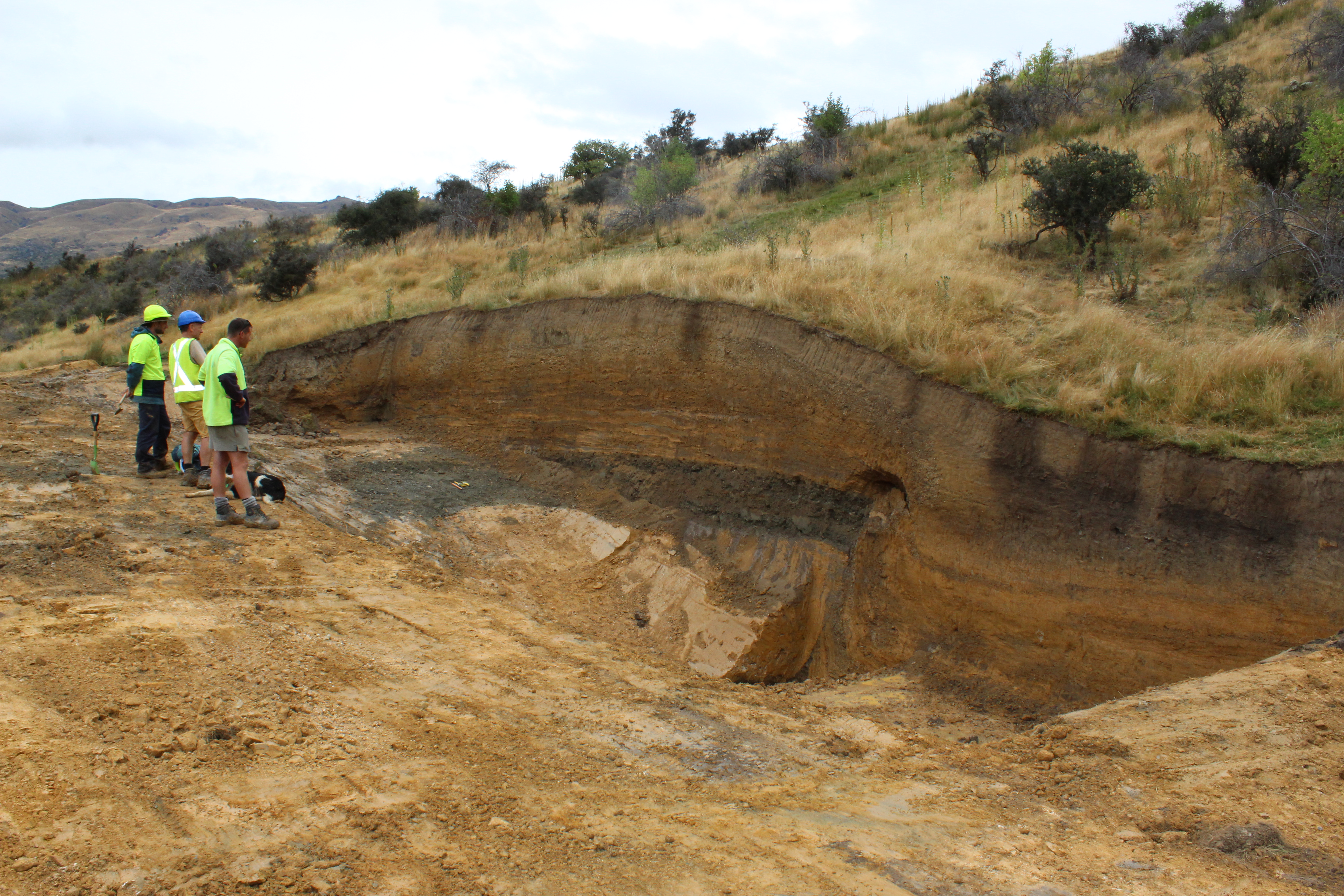
The team preparing the Hundalee Trench for logging. The Hundalee Fault was one of 20+ faults that ruptured in the M7.8 2016 Kaikōura earthquake. Left to right: Ella van den Berg, Kat Sauer (previously University of Otago), Jack Williams (Cardiff University), and David Barrell (GNS Science Dunedin). Photo credit: Mark Stirling, 2018.
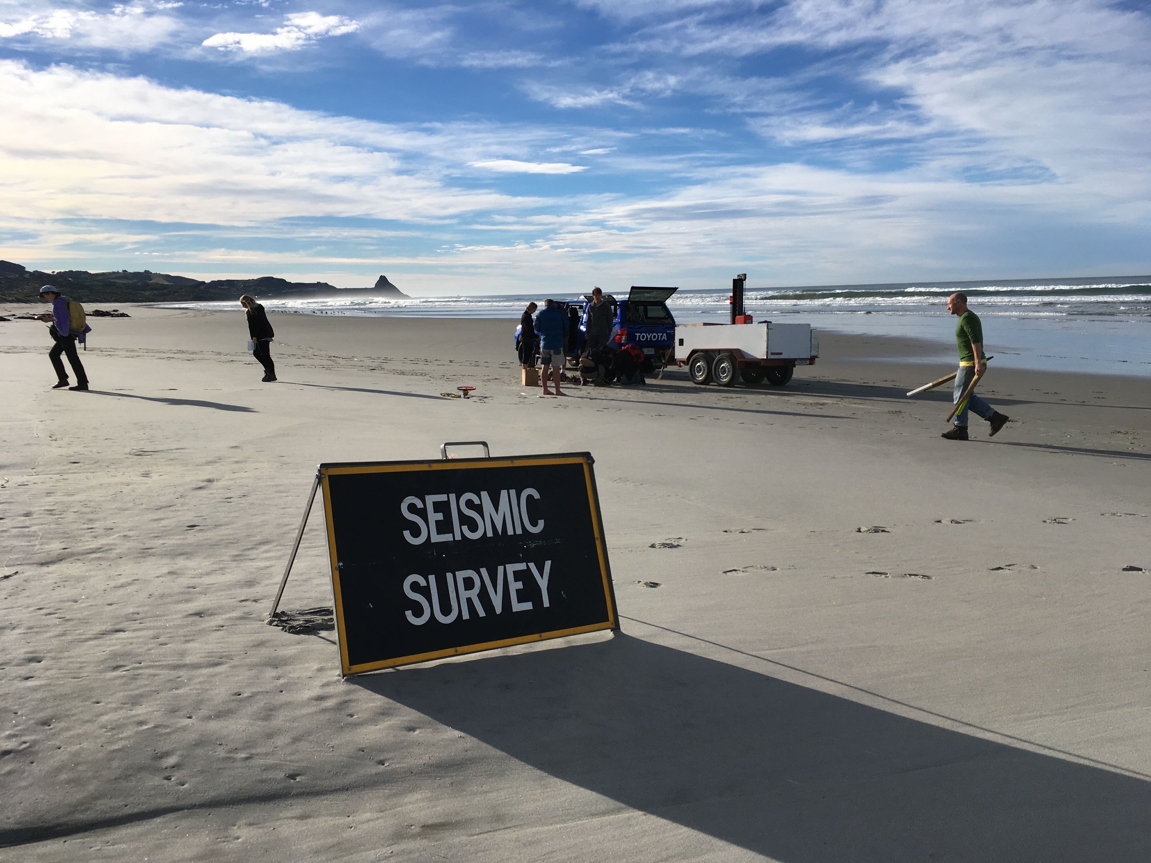
Several seismic surveys have been undertaken south of Dunedin to refine the location of the Akatore Fault.
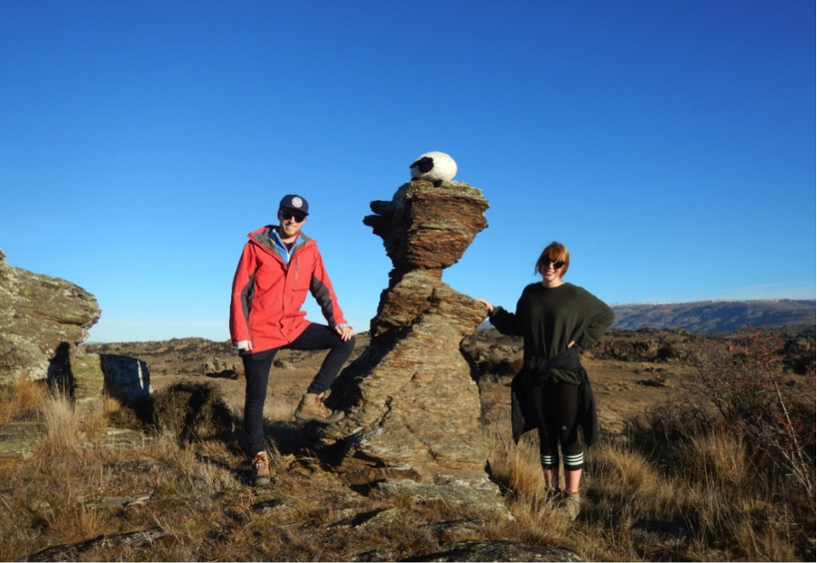
A Precariously Balanced Rock (PBR) at Cairnmuir Flat, Central Otago. The narrowest part of the tor marks the boundary between the PBR and pedestal. Photo credit: Mark Stirling.
