
Want massive NZ aerial imagery or map data?
Last week Land Information NZ (LINZ) – which has been leading the way in open access government data for some time – announced they were releasing even more open data into the wild. Their data service now incorporates terrain, street maps and satellite imagery.
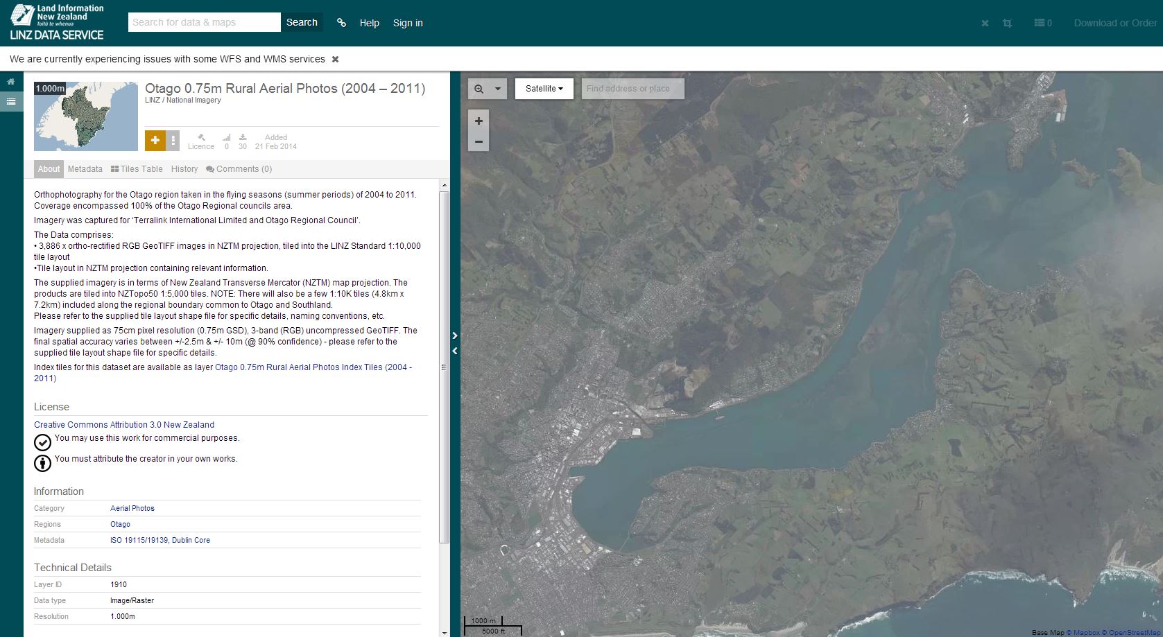 CC BY – LINZ Data Service
There’s literally terabytes of it, covering around 95% of the country, which you can download or, if you need more than 3GB, have couriered to you. In a press statement Land information minister Maurice Williamson said:
“Releasing publicly held aerial imagery for reuse has the potential to create cost savings for the public sector and generate economic benefits for the private sector. Imagery can be used to improve productivity in agriculture and forestry, and can be used in construction, engineering, disaster recovery planning, and land and asset management. Making aerial imagery available is in line with the government’s goal to make more publicly held data accessible to as many people as possible.”
It also means whenever you have a student asking where they can get a map or overhead image of somewhere in New Zealand, you’ll know where to send them for an open access one.