
Grid reference systems: What are they?
This page explains grid reference systems, with specific emphasis on New Zealand. If you are interested in making a grid reference system for your map read this page and then see:
What is a grid reference system?
A grid reference system is a simplified grid used for a map area to make reporting and looking up coordinates easier.
Continue reading
Coordinate systems in ArcGIS 10
One thing that has always frustrated me in ArcGIS is selecting coordinate systems. ArcGIS does feature a “favourites” options for coordinate systems but this only appears in a couple of dialog boxes.
The solution: Just copy and paste the coordinate system files to the same folder as all your coordinate systems.
On my computer the path was C:\Program FIles (x86)\ArcGIS\Desktop10.0\Coordinate Systems.
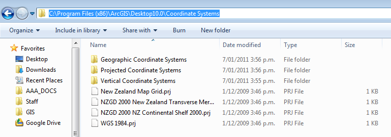
copy and paste coordinate systems you use often
Now when I browse they appear right under coordinate systems.

Quick access to coordinate systems
